Puli Six Beauties Part 2: Mt. Yousheng with 1,500m Ascending and Descending
As the first part of Puli Six Beauties, the hike to Mt. Yousheng is challenging. The hike also made me decide
to label it as a never-again hike. Yet, I found a wonderful place that makes me want to come back again,
Huisun Forest Farm.

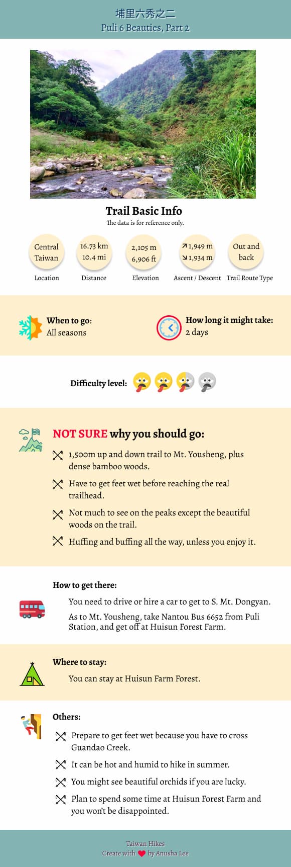
Table of Contents:
- About South Mt. Dongyan and Mt. Yousheng
- How to Get There
- Peaks to Reach
- Day 1: An Easy and Happy Hike to South Mt. Dongyan
- The Underrated Huisun Forest Farm
- Day 2: Started with the Beautiful Guandao Creek and Then 1,500m Up and Down
- Thoughts about this Hike
- Map and Itinerary
- Recommended Blogs and Resources
- Related Posts on Taiwan Hikes
Exploring Taiwan? Save Time with the Ultimate 2026 Hiking Guide! Discover the top hikes in every city and
county across Taiwan—all accessible by public transport (bus links available). We've spent 35+ hours
researching the best trails and transit options, so you can skip the hassle and start your adventure! Permit
free!
About South Mt. Dongyan and Mt. Yousheng
Puli Six Beauties 埔里六秀 refer to Big Mt. Soucheng 守城大山, Mt. Guandao 關刀山, Old
Mt. Wujeyue 舊武界越山, Mt. Hengping 橫屏山, Mt. Yousheng 有勝山 and South Mt. Dongyan 南東眼山, and they are labeled as
Mid-elevation Mountain Trails in Taiwan. Those six mountains are located in very remote areas of Puli and most
of them except for Mt. Yousheng can only be accessed by driving or hiring a car.
I hiked Big Mt. Soucheng, Mt. Guandao, Old Mt. Wujeyue, and Mt. Hengping in July
2020, and this is my hike of the rest two mountains, Mt. Yousheng and South Mt. Dongyan.
How to Get There
There is no public transport near the trailhead of South Mt. Dongyan.
As to Mt. Yousheng, you take Nantou Bus 南投客運 6652 from Puli Station, and get off at Huisun Forest Farm 惠蓀林場. Or you can book a room and stay at Huisun Forest
Farm. This is a very beautiful and underrated place to visit.
Peaks to Reach
South Mt. Dongyan: 南東眼山, 1,875 meters (6,151 feet)
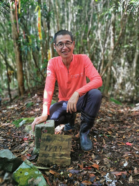
Mt. Yousheng: 有勝山, 2,105 meters (6,906 feet)
Mt. Yousheng: 有勝山, 2,105 meters (6,906 feet)
Day 1: An Easy and Happy Hike to South Mt. Dongyan
Distance: 4.09 km ( miles)
Brief itinerary: Trailhead near the farmhouse (Height 1,576 meters) ➔ South Mt. Dongyan (Height 1,875 meters) ➔ trailhead
GPS coordinates of the trailhead: 24.037207, 121.10046
Brief itinerary: Trailhead near the farmhouse (Height 1,576 meters) ➔ South Mt. Dongyan (Height 1,875 meters) ➔ trailhead
GPS coordinates of the trailhead: 24.037207, 121.10046
Our guide for this trip was also Xiao Tsai 小蔡. In case you haven't read Puli Six Beauties Part 1, Xiao Tsai is
one of my favorite guides from LOHAS. Most of the time, I just sign up my favorite guides' trips if I am
available to take those hikes. Puli Six Beauties series is one of them.
On our Puli Six Beauties Part 1, Xiao Tsai said our Day 2 was an easy and happy hike. For those who have been
hiking with him for a while, we all know to ignore his remark like this. But, surprisingly in a good way, our
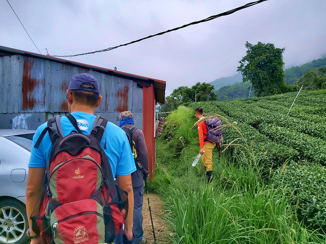
Day 1 of Puli Six Beauties Part 2 was indeed an easy and happy one. We left Taipei on early Saturday morning
and arrived at the tea farmhouse around 10:30 am. We parked our cars there. The trailhead was right next to
the farmhouse. After we got ready, we started our hike at 10:46 am.
Within one hour, we decided to stop to have a 40-minute lunch break.
Within another hour, we reached South Mt. Dongyan peak.
The Underrated Huisun Forest Farm
Then, we finished this hike and got back to our cars at 1:55 pm. This one was really easy. I don't have much
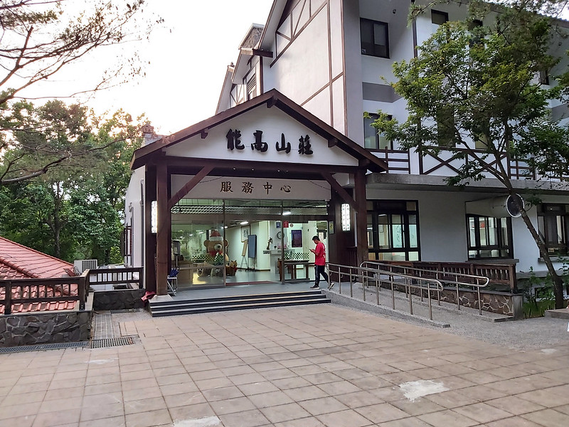
memory about this trail, but I was quite impressed by the place we stayed for the night, Huisun Forest Farm 惠蓀林場.
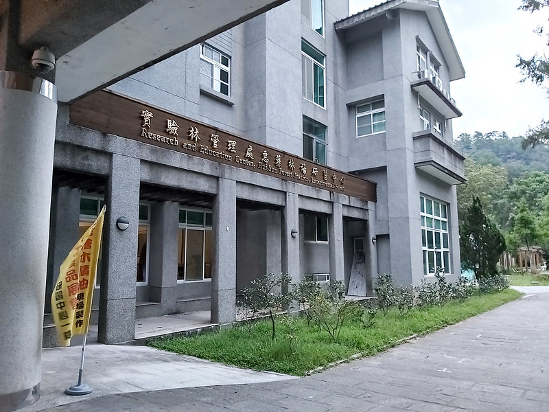
Huisun Forest Farm belongs to National Chung Hsing University with history dating back to Japanese Occupation
in 1916 and has celebrated its 100th birthday in 2016. With the area of 7,477 hectares (18,476 acres) and
elevations ranging from 450 to 2,420 meters above the sea level, there are a variety of vegetations and
landscapes. It's pity that we didn't have enough time to explore this farm.
Day 2: Started with the Beautiful Guandao Creek and Then 1,500m Up and Down
Distance: 15.6 km (9.7 miles)
Brief itinerary: Hotel at Huisun Forest Farm (Height 703 meters) ➔ Guandao Creek (Height 827 meters) ➔ Mt. Yousheng (Height 2,105 meters) ➔ Guandao Creek ➔ Huisun Forest Farm
GPS coordinates of Guandao Creek: 24.08455, 121.03791
Brief itinerary: Hotel at Huisun Forest Farm (Height 703 meters) ➔ Guandao Creek (Height 827 meters) ➔ Mt. Yousheng (Height 2,105 meters) ➔ Guandao Creek ➔ Huisun Forest Farm
GPS coordinates of Guandao Creek: 24.08455, 121.03791
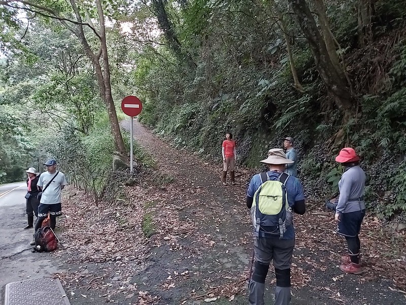
As usual, we got up early in the morning and got to the trailhead at 5:40 am.
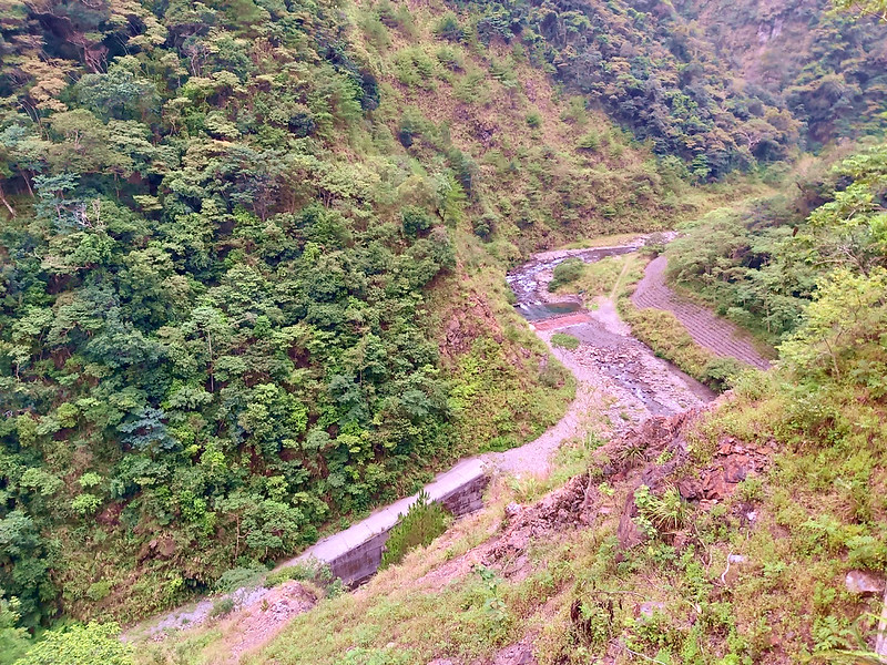
We hiked along Guandao Creek 關刀溪, and the valley looked spectacular. I had to stop several times to take
photos. The path here was the regular road but please be aware of the falling rocks.
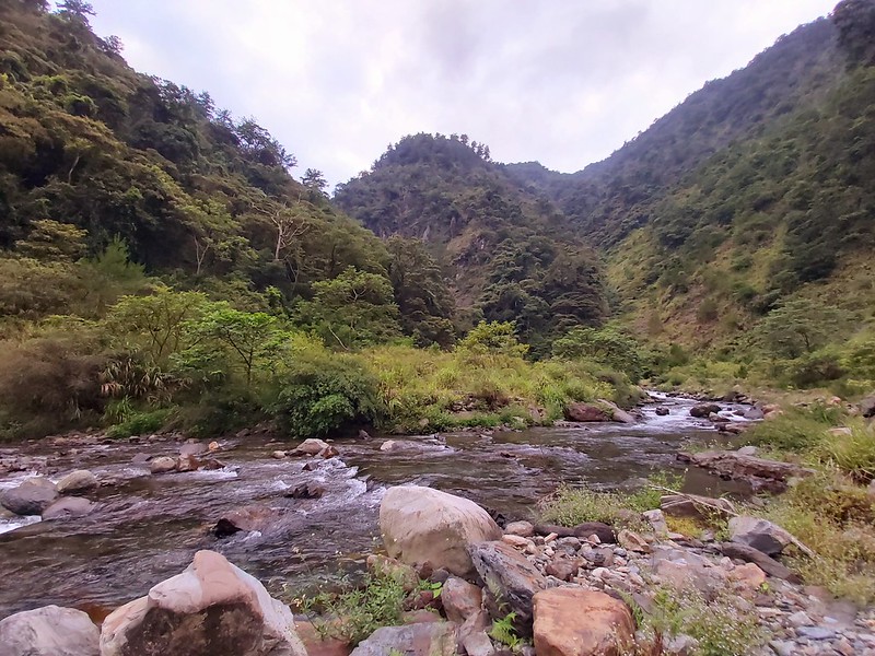
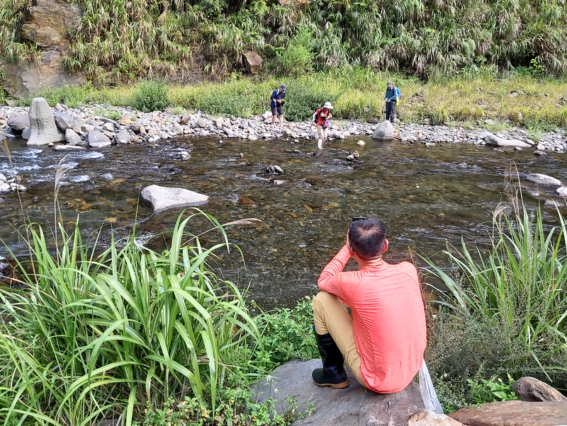
It took us around 35 minutes to reach Guandao Creek. So, our first task was to cross the river.
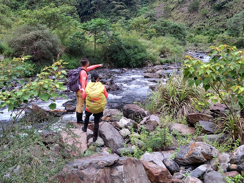
It rained a few days before our hike, and the swift but shallow water did intimidate me a little bit. Xiao
Tsai and other guides accessed the creek and found a spot to assist us crossing the river. I wore a pair of
rainboots so I just steppted into the water without any hassle. Other hikers had to take their hiking boots
off before crossing the creek.
After everyone crossed the creek and put their boots on, we hiked along the creek a little bit and found the
entrance to the steep slope.
1,500m Ascent Waiting for Us with a Pleasant Surprise to Kick off Our Hike
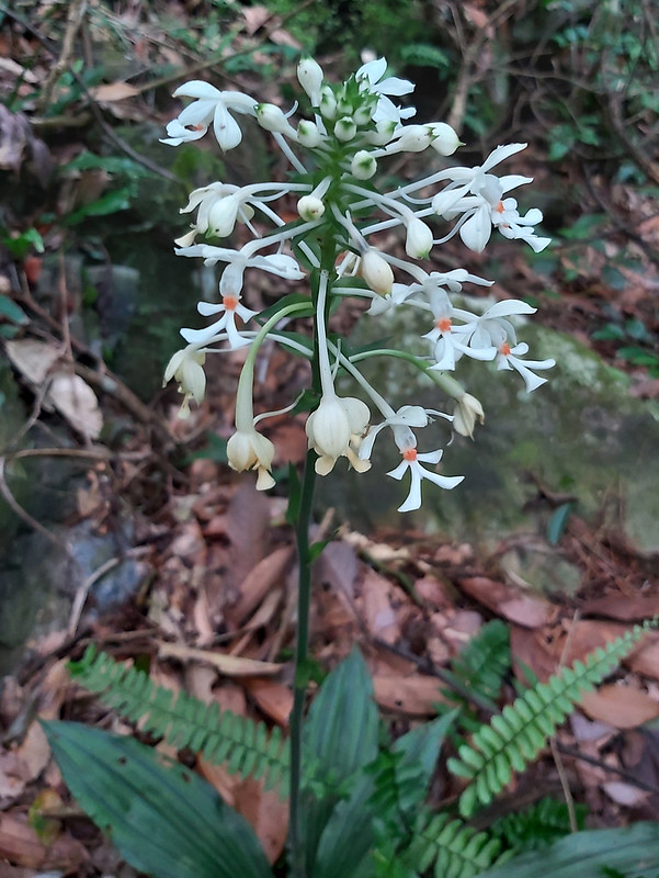
We first encountered a rock slope. When I made a turn, something white caught my attention. There were several
white flowers that looked like tiny people hanging from the plants, and those were gorgeous. Later I know
those were White Calanthe 白鶴蘭. I didn't expect to
see them on this trip, and I was so happy to have this pleasant surprise. For more information about the
flowers I saw on the trails, you can check out Flowers on the Trails.
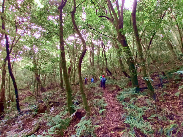
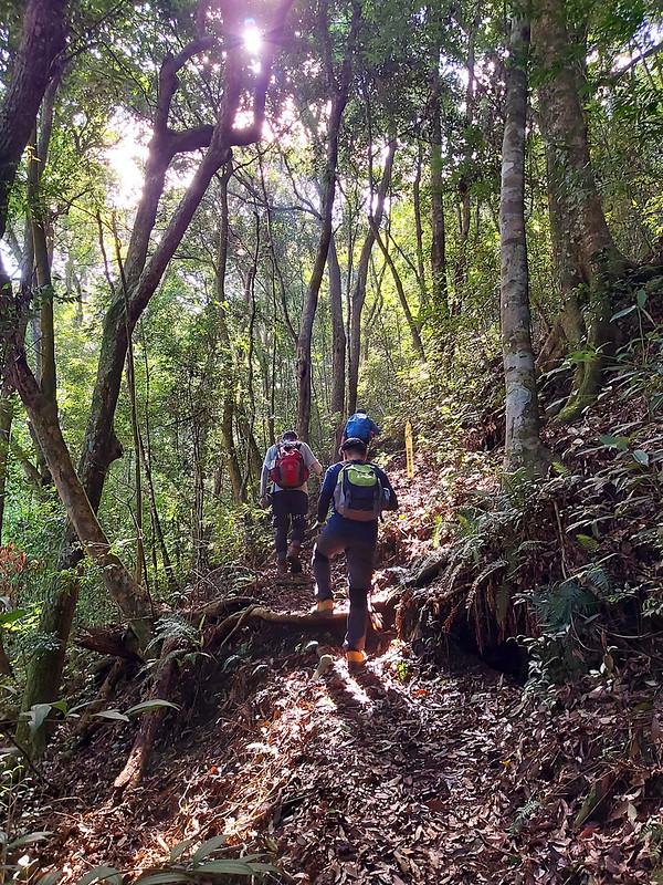
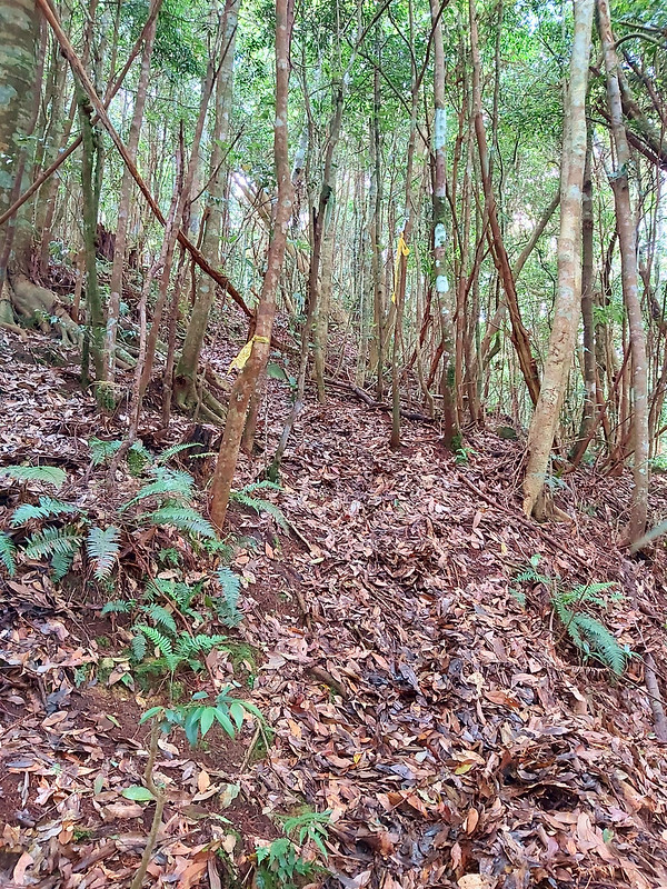
After the orchid encounter, we continued our hike. It was a very steep slope almost without any flat area for
me to catch my breath. In between the trees, I got a glimpse of the mountains surrounding us.
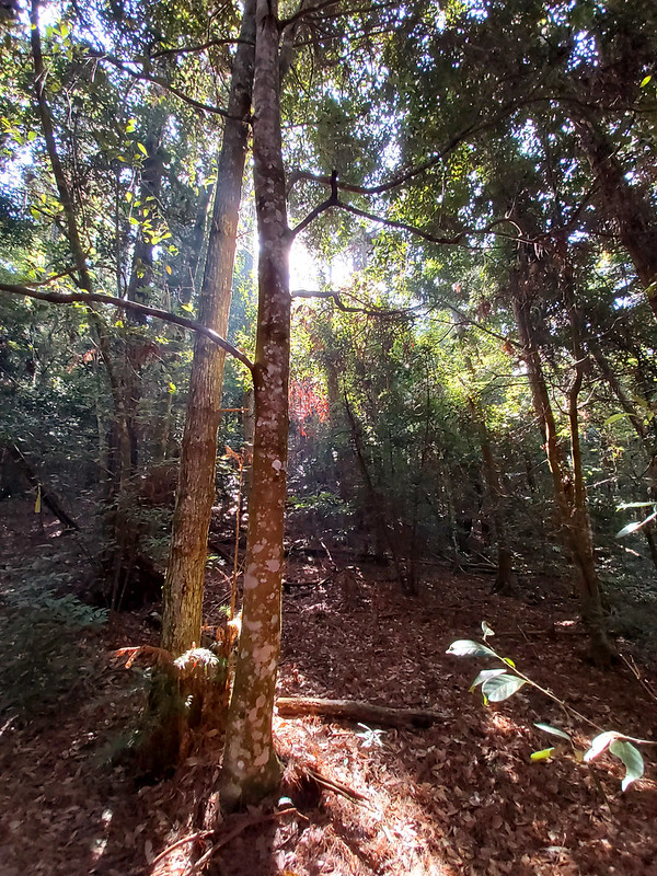
It was in midsummer, but we hiked at a higher attitude and started early. So, lucky for us, the weather wasn't
too hot and humid. We got a great weather, and I could see sun lights seeping through the woods. While I was
leaning against the tree and catching my breath, I saw this:
I also noticed some tiny white flowers scattering on some section of the trail, but I still don't know what
they are.
After the feel-like-forever uphill climbing, we reached 2023 Peak to have a lunch break. As you can guess,
this was 2,023 meters (6,637 feet) above the sea level. The peak was actually not far away from here, but this
was the relatively flat area for us to sit comfortably and have lunch.
Bamboo Woods Again But We Finally Got Views
Then, our good friends, bamboo woods, came back again. Compared to those we met on our Puli Six
Beauties Part 1, those bamboos were very friendly, and this section was not too bad.
Within one hour, we reached our last peak of Puli Six Beauties, Mt. Yousheng, the only peak with views among
Puli Six Beauties.
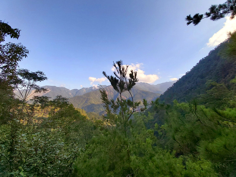
By the time we reached Mt. Yousheng, it was cloudy, nothing much to see. The good thing is we still got to see
some views on the way to the peak.
Going Downhill Wasn't Easy
The common thing about Puli Six Beauties was the massive descending, and it was a daunting task. By the time
we left Mt. Yousheng, it was around noon. The heat and humidity came back and made the hike even harder.
Since I started taking on more challenging hikes in 2020, my poor knees weren't very happy with the massive
descending. It was no surprise that my pace was getting slower.
By the time I got back to Guandao Creek, it was already 3:41 pm, and it took me another hour to get back to
the trailhead. When we reached the trailhead, considerate Xiao Tsai had asked our driver to come back to the
trailhead and pick us up.
Thoughts about This Hike:
To be honest, I think South Mt. Dongyan trail is okay. But if you really want to go, I will recommend you to
visit Menggu Waterfall (Dream Valley) 夢谷瀑布 nearby. It takes only 30
minutes from the farmhouse to South Mt. Dongyan. From the photos I see online, Menggu Waterfall is gorgeous.
If you visit Menggu Waterfall, please watch out the falling rocks and the potential risk of rapid rising
water. Many people have lost their lives there.
As to Mt. Yousheng, I probably won't go there again, but I am more intrigued by Huisun Forest Farm. Huisun
Forest Farm is a huge area with so many things to see.
There are also many short and easy trails for visitors to explore. It will be wonderful to take my time
strolling in the woods to see what Huisun Forest Farm can offer.
If I visit Huisun Forest Farm, I will go to Guandao Creek again.
Moreover, there's a bus to Huisun Forest Farm and you can just stay there, which makes life much easier. I
highly recommend you visit this place if you can.
Have you been to Huisun Forest Farm? If not, I recommend you put it on your list. Please leave comments below
and subscribe to newsletters for more amazing trails in Taiwan.
Map and Itinerary
Group Hike or Solo Hike: Group hike with LOHAS
Dates of Hike: August 8 and 9, 2020
Dates of Hike: August 8 and 9, 2020
Click Menu in the map to download, print or share the map.
Click to change the speed to meet
your condition.
Note:
My GPS track may not be totally accurate and is for reference only.
Click
 to change the speed to meet
your condition.
to change the speed to meet
your condition.Note:
My GPS track may not be totally accurate and is for reference only.
Day 1: based on my hike on August 8, 2020
10:46
Arrived at the tea farmhouse near the trailhead
11:26
Took a 40-minute lunch break
12:26
Arrived at the junction to South Mt. Dongyan and Mt.
Soucheng
12:32
Arrived at South Mt. Dongyan
13:55
Exited the trail and got back to our cars.
Total time:
3 hours 9 minutes, including long breaks
Day 2: based on my hike on August 9, 2020
05:41
Arrived at the trailhead
06:14
Reached Guandao Creek and prepared to cross the creek
06:30
Reached the other side of the creek
06:51
Ready for the steep hike
10:58
Had a 40-minute lunch break at 2032 Peak
12:04
Reached Mt. Yousheng peak
15:41
Back to Guandao Creek
16:33
Back to the trailhead
Total time:
10 hours 52 minutes, including long breaks


